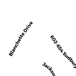
210 BLANCHETTE DR
Owner Information
HOWARD STEPHEN A
210 BLANCHETTE DR
MARLBOROUGH, MA 01752


Property Details
210 BLANCHETTE DR is classified as a Single Family Residential (Colonial).
The primary structure on this property was built in 1992. There are 6681ft2 of built area within this property. There is 3591ft2 of residential/living space within this property. This property is listed as having 9 rooms.
210 BLANCHETTE DR is valued at 643600. The land is valued at 167000 and the structures are valued at 469700. There is an additional valuation of 6900 on this property.
This property is in Zone RR. Confirm with local Zoning Board authorities to ensure there are no overlays or other easements on this property.
The most recent deed for 210 BLANCHETTE DR is recorded at the local registrar in Book 1458, Page 076. 210 BLANCHETTE DR was last sold on 2014-08-18 for 593000.
Assessment data from fiscal year 2021.
Flood Data
According to the FEMA National Flood Hazard Layer, this property does not appear to be in a flood zone. It may also be in an area not yet reviewed. Nonetheless, confirm this information prior to taking any action.
To view the flood hazards around this property, create a FEMA "Firmette" Map of the area around 210 BLANCHETTE DR.
Broadband Internet Providers
| Provider | Type | Bandwidth (mbps) | |
|---|---|---|---|
| VSAT Systems, LLC. | Satellite | 2 | 1 |
| GCI Communication Corp. | Satellite | 0 | 0 |
| Comcast | Cable | 1000 | 35 |
| Verizon New England Inc. | Fiber | 940 | 880 |
| Verizon New England Inc. | DSL | 5 | 0 |
| Viasat Inc | Satellite | 100 | 3 |
| HughesNet | Satellite | 25 | 3 |
Broadband service provider data from December 2020.
Adjacent Properties
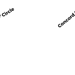
- 945 CONCORD RD
Single Family Residential owned by KOTE VASIL - 975 CONCORD RD
Single Family Residential owned by PENNINGTON GEORGE D - 959 CONCORD RD
Single Family Residential owned by WICKLMAN NORMAN R - 196 BLANCHETTE DR
Single Family Residential owned by FRANCOIS-SAINT-CYR HUGUES - 230 BLANCHETTE DR
Single Family Residential owned by BALL MICHAEL R